6G technologies, artificial intelligence and weather data supporting autonomous traffic
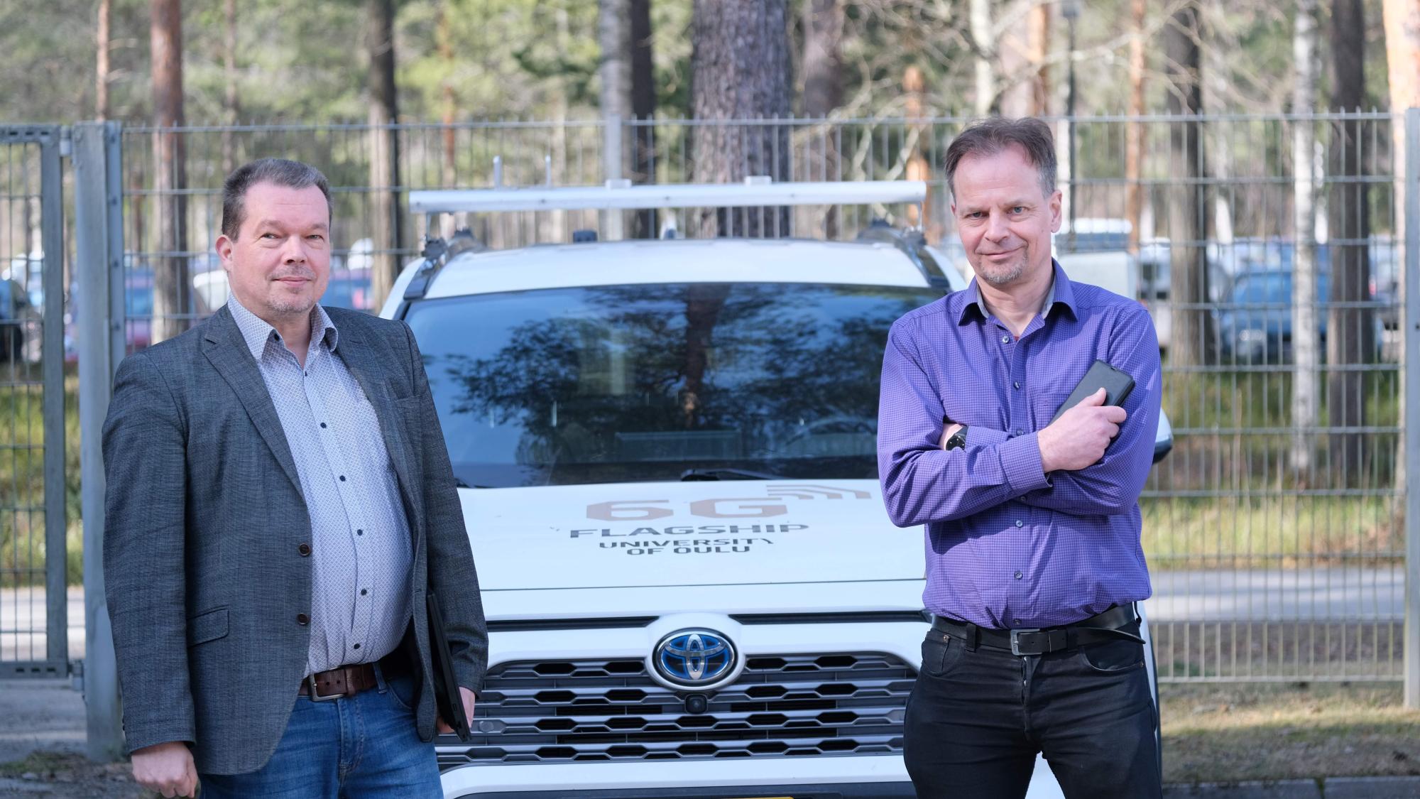
The research focused particularly on weather services, software and system architectures, as modern vehicles function as extensive software platforms whose reliability, safety and performance face new requirements due to autonomous driving. The project developed solutions to combine data fromvehicle sensors with external data sources to enhance situational awareness of traffic.
A key outcome of the project was the ability to integrate data from various sources—such as traffic, environmental and weather data—and to develop efficient data transmission and processing solutions to support autonomous driving. This processed data can be used in driver assistance, remote traffic management and fully autonomous vehicle operations.
The project utilised solutions based on 5G and 6G networks and distributed computing, enabling real-time processing, analysis and decision-making of large volumes of data. At the same time, the project explored how software and system solutions can be tested both in simulation environments and in real traffic situations.
“During the research, we combined wireless networks, artificial intelligence, weather data and vehicle sensors into a unified and evolving system that improves situational awareness in autonomous mobility,” summarises Professor Tero Päivärinta from the University of Oulu.
“The Finnish Meteorological Institute contributed weather and safety perspectives to the project. The research developed road weather services and short-term forecasts tailored for autonomous vehicles, based on weather radar data, for example. Weather and road conditions were integrated into decision-making, such as routing and safety anticipation,” adds Senior Research Scientist Timo Sukuvaara from the FMI Finnish Meteorological Institute.
The project addressed the challenges of the 6G era, such as managing highly distributed and complex systems, and integrating different devices and services into a unified solution supporting driving.
In summary, the project:
- evaluated the performance of vehicle sensor systems, such as LiDAR, cameras and radars, in challenging weather conditions
- developed models to analyse the impact of weather factors on intelligent transport challenges, such as traffic safety and sustainability
- built new services, such as nowcasting-based short-term weather forecasts for real-time use
- implemented test platforms, such as the smart mobility test track in Sodankylä and autonomous scale models
The results of the 6G Visible project provide a foundation for new software solutions, services and business opportunities, especially in the vehicle and software sectors. The research strengthened the expertise of Finnish actors in 6G technology and intelligent transport development and supported the competitiveness of companies in the field.
The project was carried out in collaboration between the University of Oulu and the Finnish Meteorological Institute (FMI) and was funded by Business Finland’s 6G Bridge programme. The project ran until 2026.
High-Resolution weather data supporting automated route planning
In the 6G Visible project, a service was developed to support route planning, particularly in challenging weather conditions. The solution moved beyond relying solely on vehicle sensors and static maps toward a broader situational understanding that incorporates weather, traffic and human experience.
“A key innovation was the utilisation of so-called ‘invisible information’: the system combined data from multiple sources in the cloud—such as weather observations, radar forecasts, road and traffic data—into a continuously updated information model. This data was managed through an evolvable knowledge graph that learns both from humans and through machine learning methods over time and thus supports decision-making,” says Doctoral Researcher Anna Teern.
The hybrid intelligent autonomous driving system (HI-ADS) developed in the solution combines the computational and predictive capabilities of information systems with human judgement and contextual understanding. This allows route planning to take into account not only weather and traffic data but also driver preferences, experience and real-time feedback.
In practice, the system:
- provided routing recommendations based on time, safety and conditions
- anticipated weather phenomena affecting visibility, such as snow and rain
- complemented vehicle sensors by providing information beyond their detection capabilities
- enabled dynamic routing decisions in changing situations
The result was a more adaptive and reliable route planning solution that improved the safety of autonomous driving, especially in northern and variable weather conditions.
Extended visibility enhances safety
The project’s results improve autonomous driving by integrating dynamic traffic, weather and sensor data into real-time decision-making. The objective was to enhance the situational awareness of drivers or vehicles, particularly regarding factors affecting driving that cannot be detected by vehicle sensors alone.
The solution developed real-time, continuously updated models of traffic, road and weather conditions. These made it possible to anticipate obstacles, visibility issues and accident risks even in difficult weather conditions.
A key approach was joint decision-making between humans and machines (hybrid intelligence). The system combined data from vehicles, sensors, traffic systems and weather services with driver’s knowledge and experience. This provided a broader and more reliable basis for decision-making than automation alone.
The research and development focused on six themes that:
- produced tailored road weather services and forecasts for autonomous vehicles
- evaluated vehicle sensor performance in challenging weather conditions
- utilised data models and knowledge graphs in routing and situational awareness
- developed data-driven decision-making and machine learning models, such as predicting weather-related accident risks
- developed system and software architectures that leverage real-time network capabilities
- built a hybrid intelligent autonomous driving system (HI-ADS)
The result was a solution in which data visibility extended beyond its sensors: the vehicle could utilise a broad data ecosystem and anticipate environmental changes. The solution moved from static maps and individual vehicle sensing toward real-time, dynamic environmental modelling using traffic, weather and sensor data from multiple sources. A key role was played by 5G and 6G network connections, which enabled rapid data transfer and integration between systems.
Situational awareness in autonomous driving was improved by utilising data beyond the vehicle’s own sensors. The aim was to enable “seeing around corners,” meaning detecting obstacles and risks that a vehicle could not identify with only its own sensors.
As a result, an approach was developed in which the “vision” of vehicles expanded significantly: they were able to utilise network-based information about their surroundings and anticipate situations even before they became detectable by their own sensors. This improves the safety of driver assistance, as well as autonomous and remote-controlled driving in changing and challenging conditions.