Amirhossein Ahrari
BSc, MSc, PhD.
Post-Doctoral Researcher
Remote Sensing and Earth Observation Data Science
Water, Energy and Environmental Engineering
Faculty of Technology
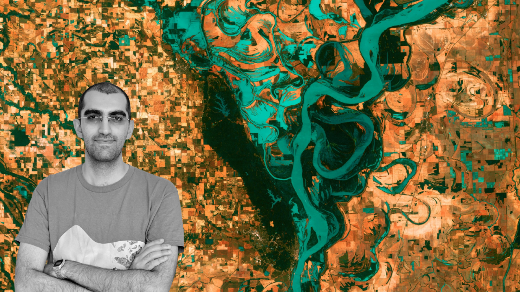
Dr. Amirhossein Ahrari earned his Bachelor’s and Master’s degrees in Remote Sensing from the University of Tehran, Iran, between 2011 and 2018. He conducted research at the Remote Sensing Research Center (RSRC) of Sharif University of Technology and at FAO in Iran, where he contributed to several national-scale environmental monitoring initiatives. In 2025, he completed his Ph.D. in Environmental Engineering at the University of Oulu, Finland. Dr. Ahrari’s expertise lies at the intersection of remote sensing, machine learning, and environmental systems analysis. He is also the creator of the educational tutorials “Google Earth Engine with Amirhossein Ahrari” on YouTube, through which he disseminates advanced and applicable GEE analytics tutorials. Recognized as a Google Developer Expert, he currently serves as a Researcher at the University of Oulu, contributing to several peer-reviewed publications on Earth observation and environmental monitoring.
Featured EO Tutorials
I am continuously learning, creating and sharing tutorials about remote sensing of environment via my YouTube Channel.
- GEE for beginners
- GEE for machine learning
- GEE for climate data analysis
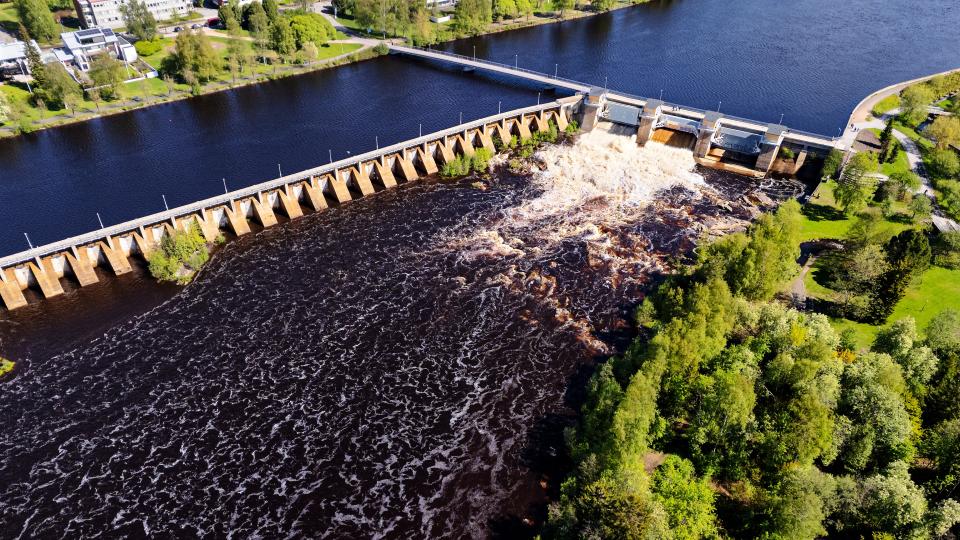
- GEE for water resources
- GEE for natural hazards
- GEE for snow monitoring
- GEE for agricultural studies
- GEE for landcover
- GEE for air quality
- GEE for drought monitoring
- GEE for urban studies
- GEE for soil moisture
- GEE for forestry
- GEE for lake monitoring
- GEE for evapotranspiration
- GEE for water quality
Featured Publications
- Ahrari, A., Panchanathan, A., & Haghighi, A. T. (2024). Dust over water: Analyzing the impact of lake desiccation on dust storms on the Iranian Plateau. Journal of Hazardous Materials, 480, 136377.
- Ahrari, A., Sharifi, A., & Haghighi, A. T. (2024). Anthropogenic vs. climatic drivers: Dissecting Lake desiccation on the Iranian plateau. Journal of Environmental Management, 368, 122103.
- Ahrari, A. (2025). Environmental monitoring using remote sensing data and machine learning techniques (PhD Thesis).
- Ahrari, A., Ghag, K., Mustafa, S., Panchanathan, A., Gemitzi, A., Oussalah, M., ... & Haghighi, A. T. (2024). Assess the impact of Climate Variability on potato yield using remote sensing data in Northern Finland. Smart Agricultural Technology, 8, 100485.
- Elmi, O., & Ahrari, A. (2025). An automatic google earth engine tool for generating lake water area time series from satellite imagery. IEEE geoscience and remote sensing letters.
- Mohseni, F., Ahrari, A., Haunert, J. H., & Montzka, C. (2024). The synergies of SMAP enhanced and MODIS products in a random forest regression for estimating 1 km soil moisture over Africa using Google Earth Engine. Big Earth Data, 8(1), 33-57.
- Pentayev, A., Ahrari, A., Baubekova, A., Faizuldanov, M., Nurtayev, N., Sharifi, A., ... & Fazli, S. (2025). Towards multi-modal oil spill detection and coverage in the Caspian Sea: a comprehensive approach. International Journal of Water Resources Development, 41(1), 176-203.
- Shahrood, A. J., Ahrari, A., Karjalainen, N., Klöve, B., & Haghighi, A. T. (2024). Application of RiTiCE in understanding hydro-meteorological controls on ice break-up patterns in River Tornionjoki. Environmental Monitoring and Assessment, 196(8), 764.
- Baubekova, A., Ahrari, A., Etemadi, H., Klöve, B., & Haghighi, A. T. (2024). Environmental flow assessment for intermittent rivers supporting the most poleward mangroves. Science of the Total Environment, 907, 167981.
Research interests
- Earth Observation Data Science
- Environmental Monitoring
- Hydrology and Water Resource
- Natural Hazards
- Climate Change
Researcher information
Research groups
Researcher profiles

Contact information
Phone number
Visiting address